To Visit From ancient convents to a natural jewel: Gorghi Scuri
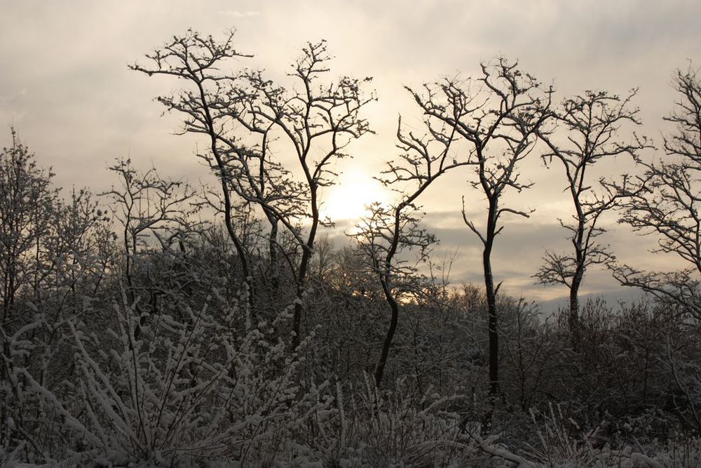

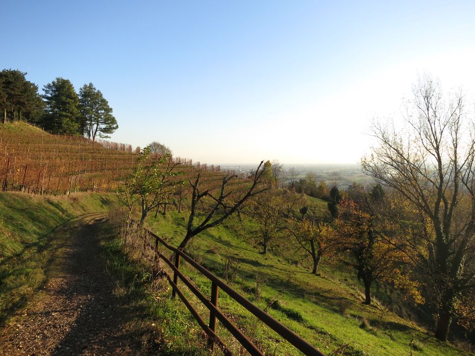
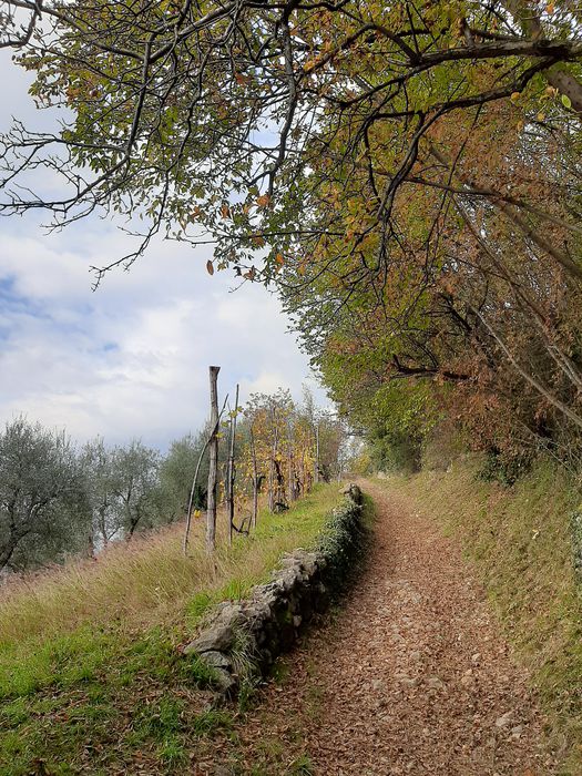
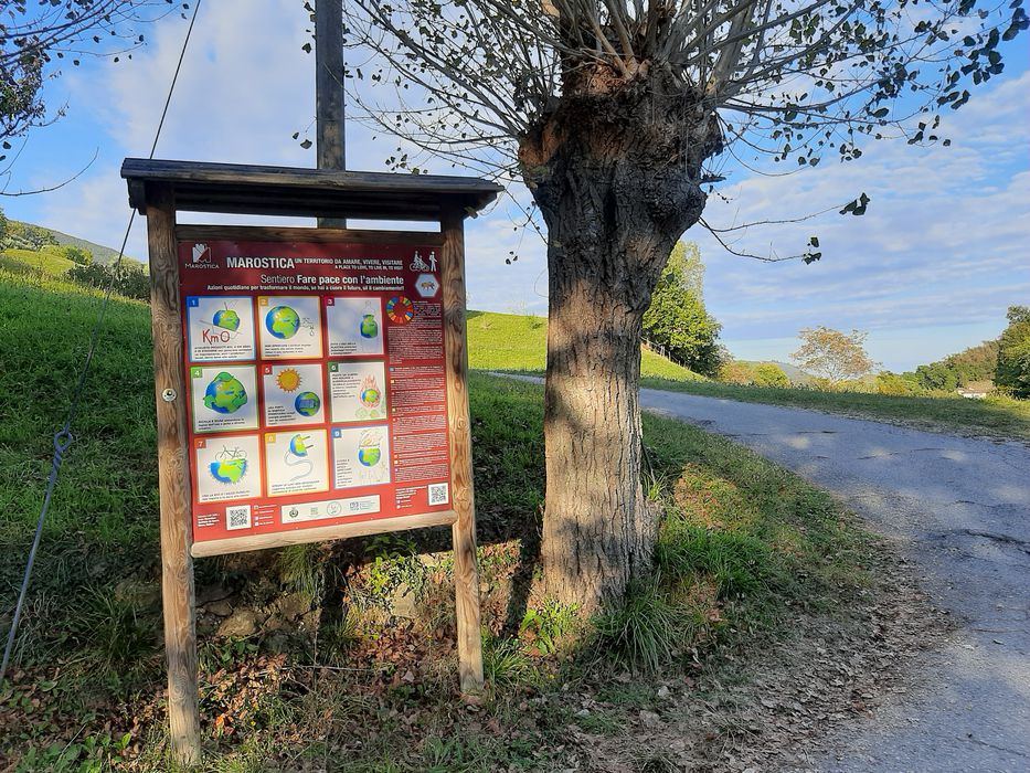
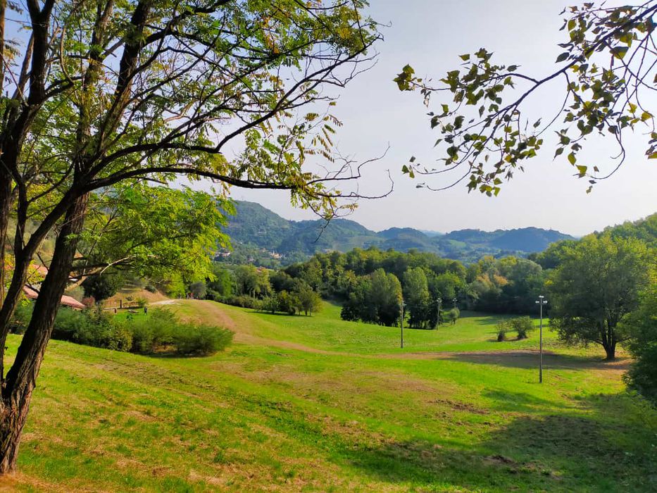
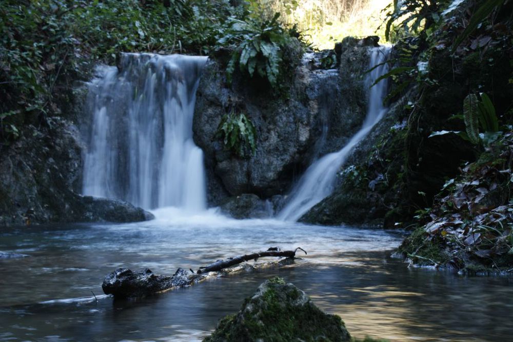
This route leads to one of the most suggestive naturalistic sites to discover in our territory: Gorghi Scuri, waterfalls along the banks of the Valletta stream, a treasure chest of spring water. Stretches of lush forest, alternating with long rows of vines and olive trees planted on terraces that follow the sinuous lines of the hill are the characterizing landscape visitors can fully immerse in, a landscape of rare beauty.
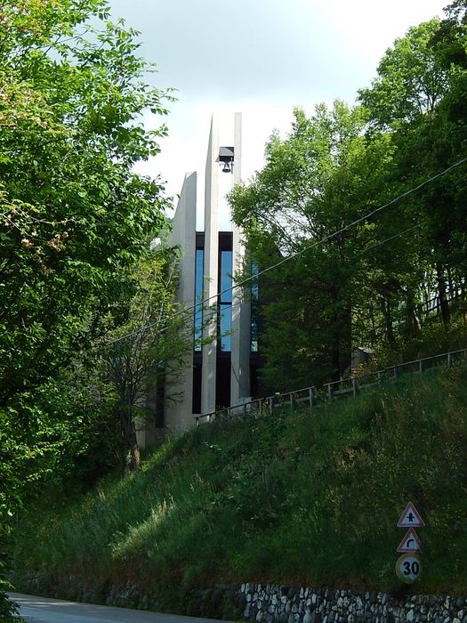
The hills of Saint Benedict are thus named in memory of an ancient Benedictine foundation convent, which unfortunately no longer exists today. Even the Convent of San Apollinare (probably of Lombard foundation) no longer exists, except in the bishop's documents. Signs have, however, been posted along the way to remember them, as is the case in this guide, to perpetuate the memory of people who came here to bring help and comfort, contributing to the growth and development of the local community.
Average duration: 6 h
Length: 14 km
Difference in height: 400 mt
Accessibility: asphalted road - path - paved road
Other routes: The great masiere (dry-stone walls) of Val Costolo, Nature trail of San Benedetto, The small masiere (dry-stone walls) of the districts of Busa Bionda and Campi, Cherry tree trail
Variant 2A
Average duration: 2 h
Length: 5,8 km
Difference in height: 400 mt
Accessibility: asphalted road - path - paved road
Variant 2B Colline di San Benedetto
Average duration: 2 h 30 min
Length: 7 km
Difference in height: 400 mt
Accessibility: asphalted road - path - paved road
Variant 2E
Average duration: 2 h
Length: 6,67 km
Difference in height: 250 mt
Accessibility: asphalted road - path - paved road
Set off from Campo Marzio taking via Due Rogge. Walk down the street in the traffic free area until Piazza Ortigara. A route sign on the opposite side of the street invites you to turn right and take via Ponte Quarello. Once you
have passed the Longhella stream, turn left into via S. Pertini and start walking up the San Benedetto hill. After a short stretch of route, a plaque draws your attention to the no longer existing Church and Monastery of San Benedetto and the Church of Sant’Apollinare, which used to be located nearby to the south. Unfortunately, no traces are left of these buildings, except for the foundations that are now covered with vegetation. The only memory of the Monastery of San Benedetto is the gravestone of the Venetian physician Cornelio Bianchi, who restored and extended the church in 1500s. The gravestone is now preserved in the Cloister of the Church of Saint Anthony the Abbot in Marostica.
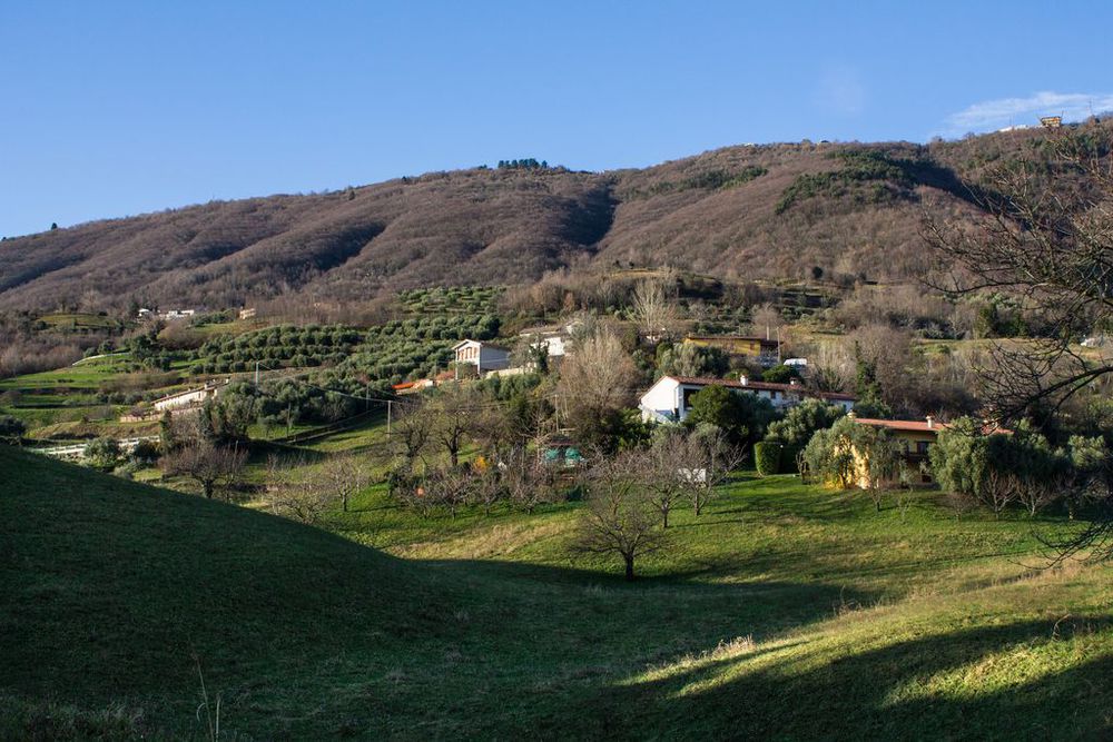
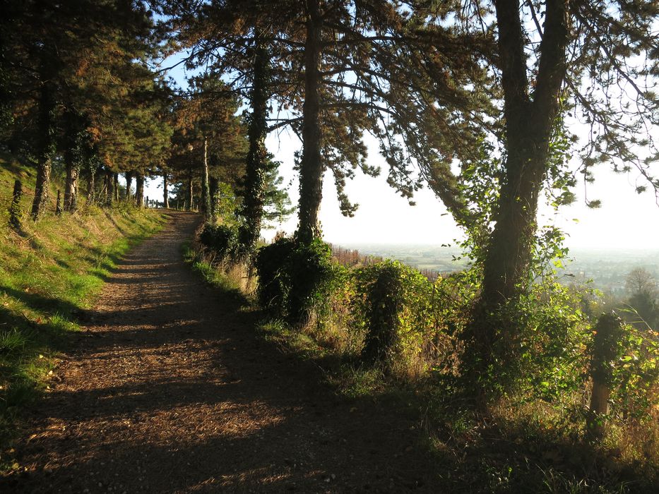
The walk continues along an unpaved road flanked by terraces with olive trees and vines, from which you can enjoy a splendid view of the town walls and of the former Monastery of Saints Fabian and Sebastian.
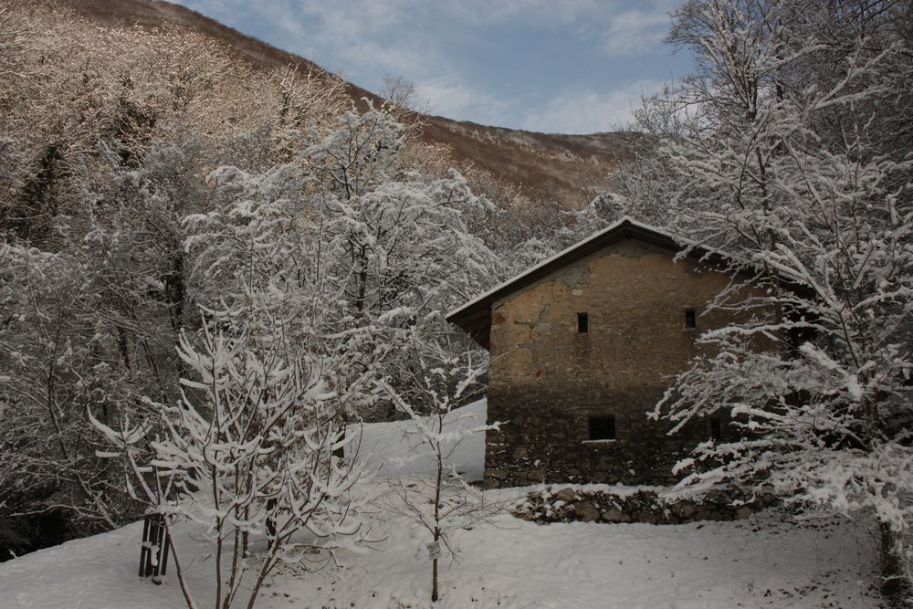
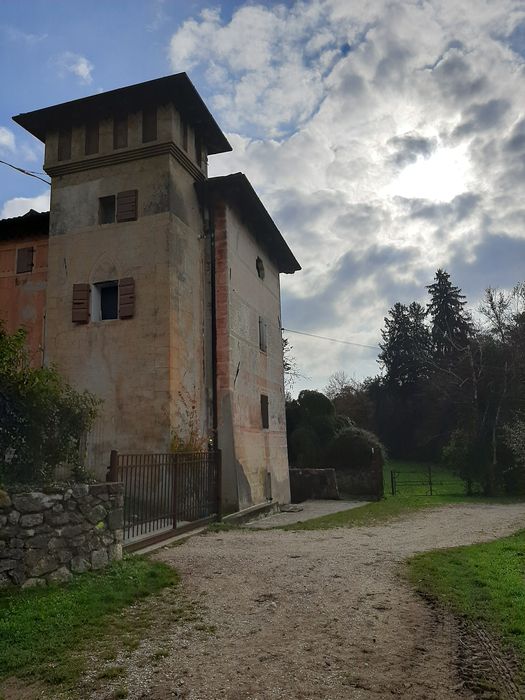
Once at the crossroads, you will notice an ancient farmhouse on the right side.
This is the starting point of two alternative routes. Turn right to take the alternative route 2A heading to via Cobalchini – Marsan; go straight ahead to take the alternative route 2B heading to the Church of Sante Agata e Apollonia – Marsan. The main route continues on the left towards Sedea Palace. Once at the crossroads with via Sedea, turn left on the asphalt road and carry on for a short flat stretch until the road branches off. Now, turn right and walk up a short slope to reach the Berna house, an ancient dwelling of 1600s. Cross the flatland through Contrà Pianezzola and continue on the asphalt road until the Chiesetta del Ciclista. At this point, turn left to take the alternative route 2C for Piazzette – Capo di Sopra - Marostica or continue straight ahead on the main route. Cross the road and start walking up the slope to Pradipaldo. On your way, do not miss the chance of watching a rare century-old specimen of sessile oak tree in the wood.
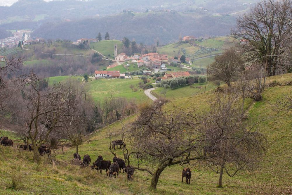
Not far from Pradipaldo you intersect a short stretch of the provincial road known as Strada Della Fratellanza (Road of Brotherhood), which is quite busy so attention is required. Then you continue on the winding path until the next intersection with the provincial road, after which the first houses of Pradipaldo will appear. At an ancient fountain the road branches off: go left into via Zeggio and walk all the way down until you come across the last group of houses where a turn on the left will lead you into a typical courtyard. Here, on the right, a road sign points towards a narrow path. Walk along a dry-stone wall and downhill until the next path. Now, turn left, walk down several steps following the route. In the wood another route sign points to the right: follow it until you reach a house. Walk through its yard and keep going downhill. Some springs are found on this way. Then keep on the left and go past an old hayloft until an unpaved road. Keep going downhill to stay on the main route. Deviate to the right and take a path leading to the bottom of the valley to reach a natural site known as Gorghi Scuri. Go back to the unpaved road walking along a path above a rapid-waterfall which ends downstream, near a small stable. After walking past a big concrete dike, start your way down to the San Floriano valley along the La Valletta stream and reach the shrine of Contrà Capo di Sopra. Still on the asphalt road, walk southward until the shrine of Contrà Carrara-Placca. Once here, continue on the left along via Bernardi and walk past the bridge on La Valletta stream. Right after that, at the crossroads not far from the group houses located in via Meridiana, turn right and take the road that flanks the stream until the intersection with the road to Marostica. Turn right. A little further, at the shrine of Ponte Barbola, an inscription bears witness of the ancient border with the Spettabile Reggenza dell’Altopiano dei Sette Comuni (Asiago Plateau). The route continues along the left bank of the La Valletta stream that flows into the Longhella stream near the Campana bridge. Turn right at Quarello bridge and walk as far as Piazza Ortigara. Take via Due Rogge and Campo Marzio is just a few minute walk.
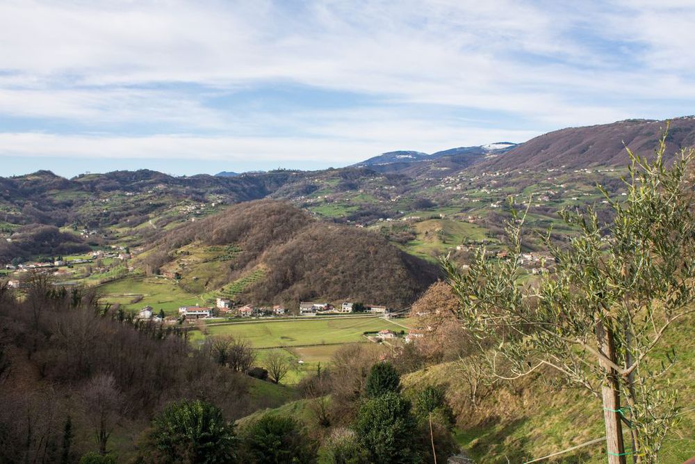
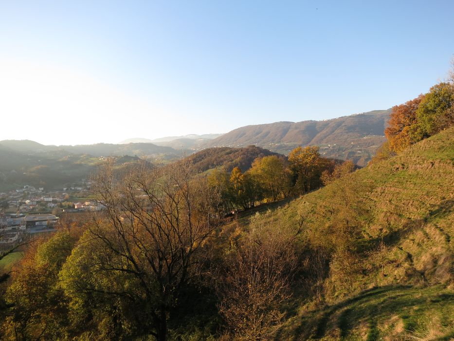
This route offers the opportunity to observe very different natural landscapes: the countryside, uncultivated and cultivated hilly meadows, broad-leaved plants and conifers thickets, dales, brooks, waterholes and the most diversified panoramic views. As far as environmental aspects are concerned, it is certainly the most comprehensive route of all route options in our territory. Along the San Benedetto path, where the views are open, it is possible to take many panoramic stops. Look to the south-west and admire the former Monastery of Saints Fabian and Sebastian on the Pauso hill, as well as the Pausolino hill with the Castello Superiore (Upper Castle). To the west, the view spreads over the hills of Roveredo Alto and Roveredo Basso, with San Luca in the background. Look to the north-west to observe the Asiago Plateau with the underlying hills, while Mount Grappa is visible to the north-east.
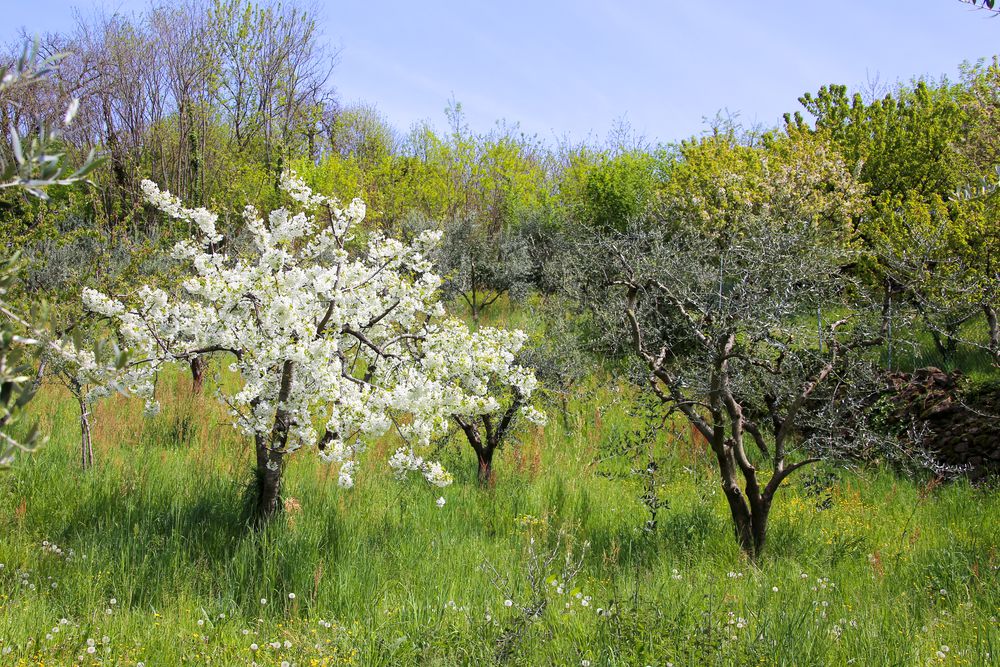
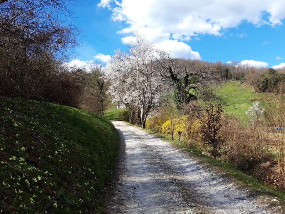
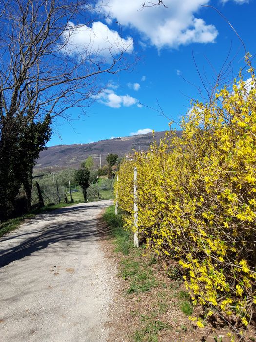
There are different rock outcrops here and there: you can come across fossiliferous limestone, sandstone and altered igneous rocks. In spring, the rows of cherry trees along the unpaved road fill the landscape with colors, while the vineyards and the olive trees are scattered almost everywhere. Very representative, even though not fully indigenous, are the conifers present along the route and on the surrounding hills. Among them, the rows of black or Austrian pine trees, the thicket of white pine and Scots pine, the stone or umbrella pine and the Italian cypress. However, do not be disappointed if you fail to see animals, above all vertebrates: it is quite rare although you sometimes come across nests or dens, the latter occupied by foxes or badgers.
If you opt for the alternative route 2B that goes eastwards, you can enjoy the suggestive landscape of the Marsan hills, with an alternation of specialized vineyards and olive trees cultivated by some local farmers. At the crossroads with the asphalt road that goes down to Marsan an unpaved road leads to the Church of Sante Agata e Apollonia. A mixed wood surrounds the small church to the north, while some decorative trees dominate the square just outside the church. The most significant decorative trees include the Himalayan cedar or deodar, the Italian cypress, the European yew and a grand walnut. Along the path leading to Pradipaldo and on the area of Gorghi Scuri, you can observe rocks essentially made up of limestone, often in more or less thin, folded layers.
The most frequent tree species in the area include: the black hornbeam, the Eurasian field maple, the sycamore maple, the downy oak and the chestnut. Next to Gorghi Scuri, where moisture and shadow are more abundant, two peculiar kinds of fern are typical, Lingua Cervina (hart’s tongue) and maidenhair fern.
In wet weather, the rivulets on the valley floor offer the opportunity to come across some specimens of the black-yellow-spotted Salamander. If you pay attention, you can also catch sight of some specimens of the European newt, especially under the rocks- On the other hand, freshwater crayfish are very hard to see as they are very rare nowadays.
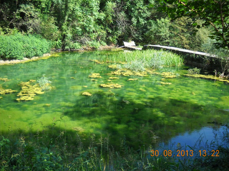
The La Valletta stream has its origin at the place where the so called vallyes Valle degli Spini (to the north-east), Valle degli Speroni (to the north), and Val del Gallandolo (to the west) merge. It is fed by waters coming from the hydrographic basin that spreads among Rubbio, Pradipaldo, Tortima and the Erta districts, and it is characterised by plenty of springs and rocky ravines. Gorgeous are the wild sceneries, which are not always easy to reach, offered by the rapids-waterfalls along its bed, as in the Gorghi Scuri area. Along the unpaved road going downhill from the big concrete dike you can see a few poplar trees and some old willow trees. Some other typical species of mixed hillside woods are still present.
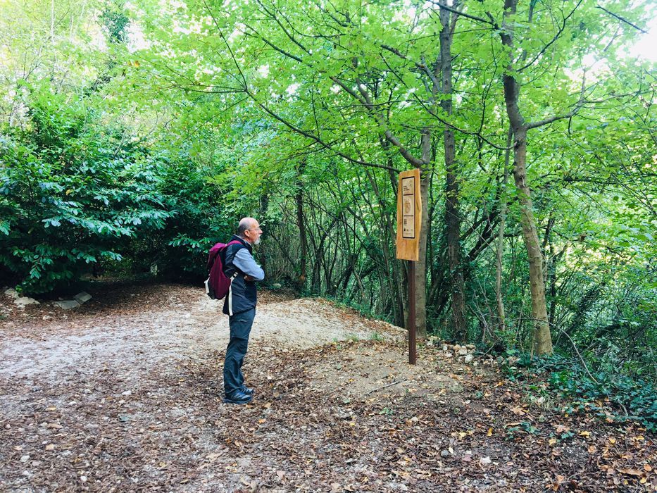
The path indicated as Variante 2E starts from the square in front of the Church of Valle San Floriano, there is a parking for those arriving by car.
The route offers the possibility to observe different environments: the countryside, uncultivated meadows and cultivated hills and valley bottom, deciduous woods, streams and panoramic views among the most varied.
Take the pathway that passes between the left side of the church and the bell tower and continue along the main path for about 15-20 minutes. The bottom is unpaved and after a short flat section, begins a climb (not difficult) that takes place in the shade from the sun, under the foliage of the trees. In this part the route crosses a wood with the characteristic tree species: the Hornbeam, the Maple-Opium, the Maple Mountain, the Roverella and the Chestnut.
At the first deviation, take the left towards Contrà Pianezzola. Before arriving at the district, you find a second detour: keep right and continue along Via Pianezzola.
The footpath becomes flat for a short stretch and runs along the gardens; then begins to descend alongside grassy fields and through a small grove. To the south the view extends over the direction of the hills of San Benedetto.
At the end of the descent, at the crossroads, turn right. The path widens and becomes an unpaved road accessible also by cars. Continue along via Contrà Pianezzola for a short stretch until you reach via Contrà Gaggion Basso in asphalt but with low vehicular traffic. Turn right; the road is flat and takes place along fields planted with corn, arable or left to grassland.
Go through Contrà Gaggion Basso (mt 1,200 towards the east) until you reach the S.P. 72.
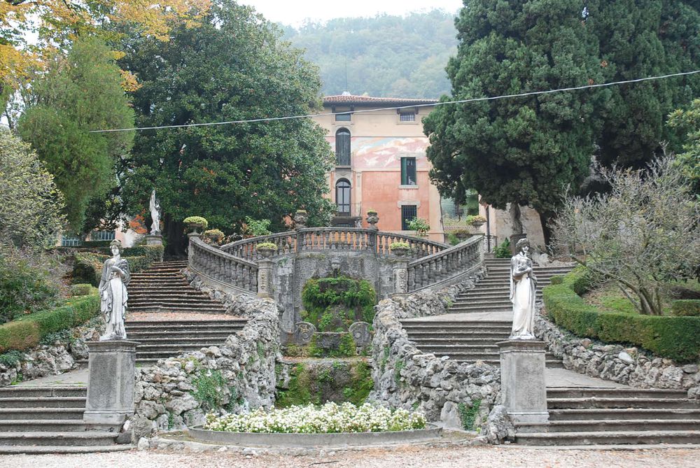
Turn right, follow 400 meters until you cross on the right via Contrà Valtripona. Then turn right and follow via Contrà Valtripona. After about 700 meters, at the intersection, take the road on the right and skirt a wood on your left until you get to a detour. Take the road on the left with gravel, leaving the asphalt road and continue for another 400 meters until you find on the right a beautiful large tree (hornbeam white). Here ends the dirt road; to the left begins a dirt path uphill through the forest. Continue along this path (400 meters) to reach, at the end of the climb, Palazzo Sedea, an ancient nineteenth-century residence surrounded by nature, in the middle of a large estate cultivated with grass, pasture, vines and olive trees.
Here the road, with dirt ground, returns flat; carry forward until the end of Via Valtripona for 400 meters until you meet Via Sedea (with asphalt bottom) slightly downhill. Go along Via Sedea for 800 meters until you find a cart track on the right with gravel (direction Casa Berna). Casa Berna is a nineteenth-century rural complex with an ancient private church.
Continue along the path along the back of Casa Berna and continue towards Contrà Pianezzola. After about 500 meters you meet the first deviation found on the way. If you keep the left, you return to the starting point.
In this route
Accomodation
-
Hotel Europa
Viale Stazione, 5/A - Marostica
Vedi i dettagli -
Hotel Due Mori
Corso Mazzini, 73/75 - Marostica
Vedi i dettagli -
Hotel La Rosina
Contrà Marchetti, 4 - Marostica
Vedi i dettagli -
Da Tranquillo
Via Chiesa, 1 - Pradipaldo di Marostica
Vedi i dettagli -
Villa Cecchin Guesthouse
Via Gianni Cecchin, 69 - Marostica
Vedi i dettagli -
Suite Parolin
Corso Mazzini, 142 - Marostica
Vedi i dettagli -
Campana Suites
Viale Stazione, 32 - Marostica
Vedi i dettagli -
Marostica
Via Camplani, 60 - Marostica
Vedi i dettagli -
A Casa mia
Via Ca' Brusà, 23 - Marostica
Vedi i dettagli -
Da Viky
Via Mantegna, 12 - Marostica
Vedi i dettagli -

Borgo Castello
Via C.Battisti, 15 - Marostica
Vedi i dettagli -
Palazzo Sedea
Via Sedea, 14 - Marostica
Vedi i dettagli -
Retrò
Via Ravenne, 36 - Marostica
Vedi i dettagli -
Agriturismo Corte del Maso
Via Sedea, 17 - Marostica
Vedi i dettagli -
B&B Maria
Via IV Martiri 21 - Marostica
Vedi i dettagli -
Marostica Bright Apartment
Via Callesello delle Monache 1 -Marostica
Vedi i dettagli -
Brave Wine- Società agricola Srl (ex Diesel Farm)
Via San Benedetto, 2 - Marostica
Vedi i dettagli -
Al Mulino
Via Gobbe, 60 - Marostica
Vedi i dettagli -
L'Angelo e il Diavolo
Piazza Castello, 41/A - Marostica
Vedi i dettagli -
Madonnetta
Via Vajenti, 21 - Marostica
Vedi i dettagli -
La Rondinella
Via Bressani, 14 - Marostica
Vedi i dettagli -

Lunaelaltro
Corso della Ceramica, 33 - Marostica
Vedi i dettagli -
Scaligera
Via Montello, 68/a - Marostica
Vedi i dettagli -
Al Santuario -Ai Capitei
Contrà Capitelli, 7 - Marostica
Vedi i dettagli -
Panic Jazz Club
Piazza Castello, 42 - Marostica
Vedi i dettagli -
Ristorante cinese Oriente
Via G. Cecchin, 20/b - Marostica
Vedi i dettagli -
Da Bastian
Via Gobbe, 10/a - Marostica
Vedi i dettagli -
Da Roberta
Via Panica, 150 - Marostica
Vedi i dettagli -
Da Rossi
Via Consagrollo, 69 - Marostica
Vedi i dettagli -
La Rosina
Via Marchetti, 4 - Marostica
Vedi i dettagli -
Da Tranquillo
Via Chiesa,1 -Pradipaldo di Marostica
Vedi i dettagli -

Sant'Agata
Via S. Agata, 9 - Marostica
Vedi i dettagli -
Caissa
Corso Mazzini, 104 - Marostica
Vedi i dettagli -
Al Sole
Via Fondati, 3 - Marostica
Vedi i dettagli -
All’Angelo d’Oro
Viale Montegrappa, 20 - Marostica
Vedi i dettagli -
La casetta
Viale Vicenza, 12/A - Marostica
Vedi i dettagli -
Dalla Zita
Via Cà Brusà, 5 - Marostica
Vedi i dettagli -
Ristorante Cuori
Corso Mazzini, 73/75 - Marostica
Vedi i dettagli
To live
Events in the territory
To love
To visit
-
![]() The great masiere (dry-stone walls) of Val Costolo
The great masiere (dry-stone walls) of Val Costolo
The route leads visitors to discover the inhabited areas that bear witness of life on the hillside: old and abandoned ...
-
![]() Nature trail of San Benedetto
Nature trail of San Benedetto
This is the route to enjoy both magnificent views over the nearby landscape, the north with the mountain crown of ...
-
![]() The small masiere (dry-stone walls) of the districts of Busa Bionda and Campi
The small masiere (dry-stone walls) of the districts of Busa Bionda and Campi
A route with enchanting views, embellished by ancient masiere, i.e. dry-stone walls that used to fence patches of land made ...
-
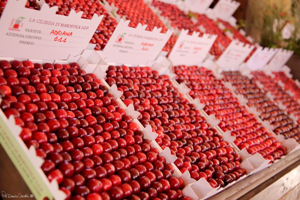
![]() Cherry tree trail
Cherry tree trail
This path, more than others, offers its users a real full immersion in a landscape where cherry trees dominate and, ...