To Visit Route 1: From the Medieval village to the walled city
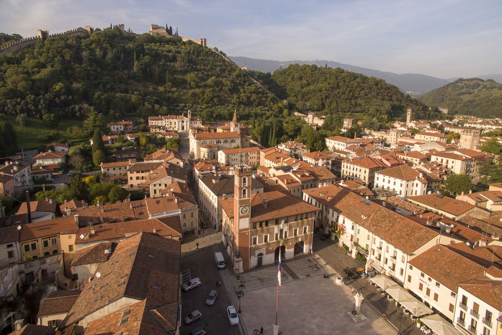

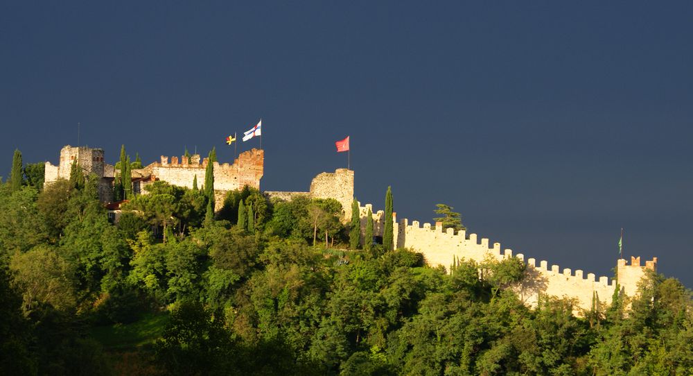
This is one of the most popular scenic routes for tourists. Easily practicable, it leads to the upper part of the walled city through Piazza Ortigara square in Borgo Giara, the original settlement of Marostica. Enter through the Porta Bassano gate and closely follow the massive Scaligeri walls until the Church of the Carmini. Then take the path of Monte Pausolino which leads to Castello Superiore (Upper Castle) in the middle of a large, shady olive grove. The path back to the starting point is either on the same route or on the Antica Strada dei Frati friars' path, whose name comes from the fact that it used to connect the parish churches along the route from the right bank of the Brenta river to Thiene. Take this path immediately outside the east gate of Castello Superiore (Upper Castle) and walk downhill keeping to the north of the manor house, following the appropriate signs.
Average duration: 1 h
Length: 4 km
Difference in height: 150 mt
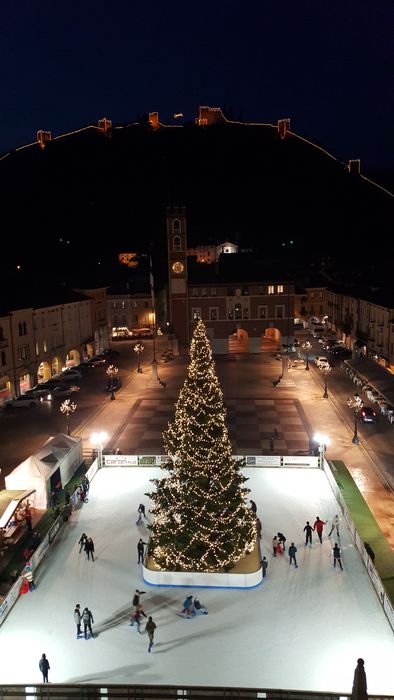
Route: Marostica
Accessibility: asphalt road - unpaved road - path
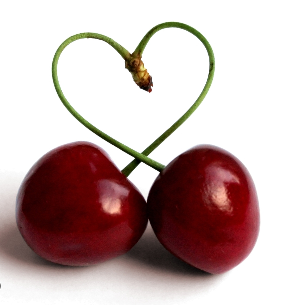
Other routes: Route 4: From the walled city to the suggestion of Val d'Inverno, Route 5: Cherry tree trail,
Variant 1A
Average duration: 30 min
Length: 1,8 km
Accessibility: via Rialto - via S. Antonio Abate - Piazza Castello - Corso Mazzini - Porta Bassano - Campo Marzio
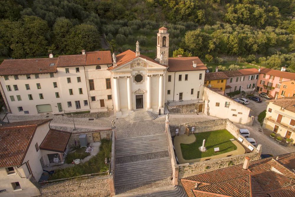
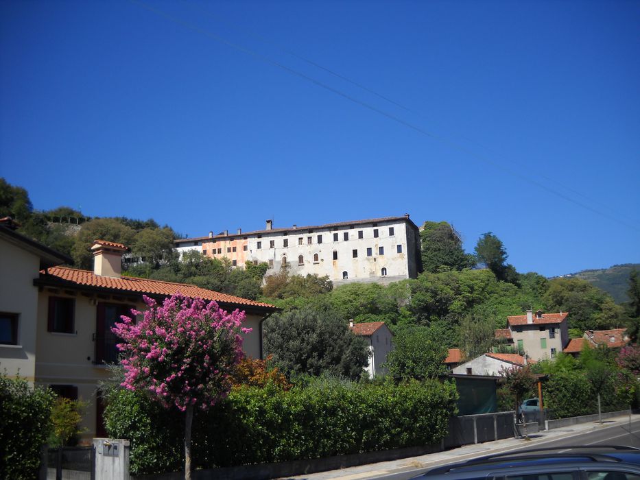
Set off from Campo Marzio and take via Due Rogge until Piazza Ortigara. Then take via Beato Lorenzino leading to the most ancient settlement of Marostica. On your way keep your eyes up and admire the massive former Monastery of San Fabiano e San Sebastiano, which is located on the west top side of the Pauso hill. Halfway through the borough of Borgo Giara, on your left, you come across the former Church and Convent of San Gottardo (1470), where the first Hospital in town was built and run by the Augustinian nuns. The route continues among ancient dwellings and former manufacturing premises - the last remains bearing witness of the industrial history of Marostica - where between the fifteenth and nineteenth centuries silk yarn was processed and straw hats were manufactured until the second half of 1900s. Walk by the ancient Church of Santa Maria Assunta and reach Prospero Alpini’s house (1553-1616), a physician and a botanist at the University of Padua who was the first to make coffee popular in the Republic of Venice.
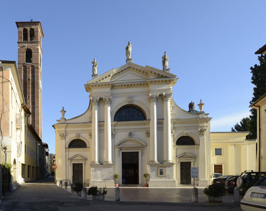
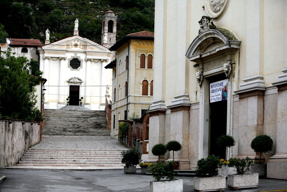
The route continues on the right into the walled town through Porta Bassano. Right past this gate, you can turn left to visit the Church of San Marco which was built in 1450 on the occasion of the anniversary of the town devotion to the Republic of Venice. After this short and interesting deviation, go back to the main route again and enter Via Calesello leading to the picturesque high part of the town, flanking the mighty Scaligeri walls with interposed “Torresini” (turrets).
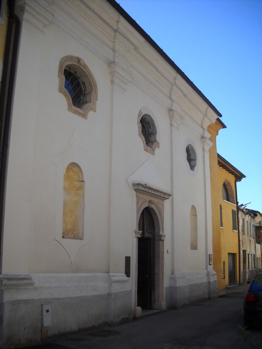
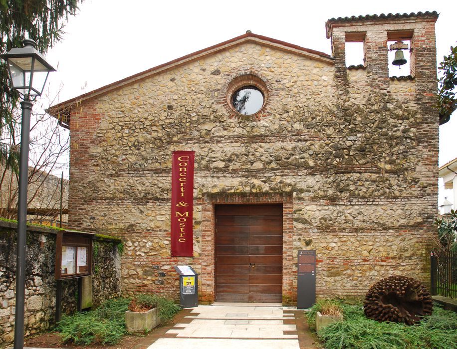
The Church of Sant’Antonio Abate and the Church of Madonna del Carmine or dei Carmini are nearby. You can leave the main trail here, turn left, go down Via Sant’Antonio and reach Piazza Castello (alternative route 1A). Alternatively, you may go straight ahead to intersect
Route 4 “Medieval Borough - San Luca – Val d’Inverno” walking down
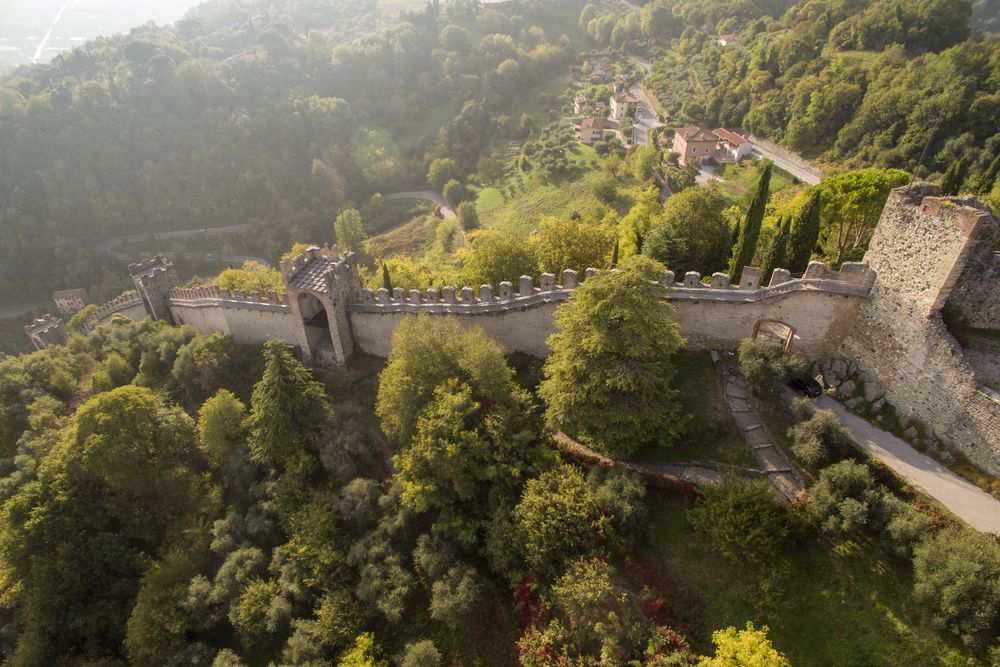
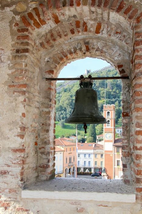
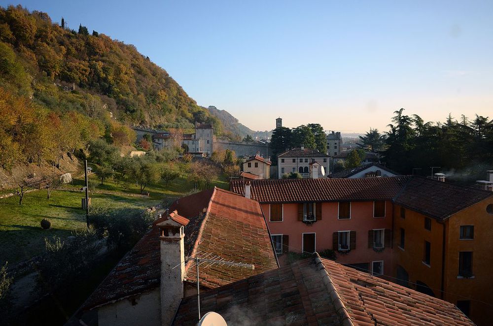
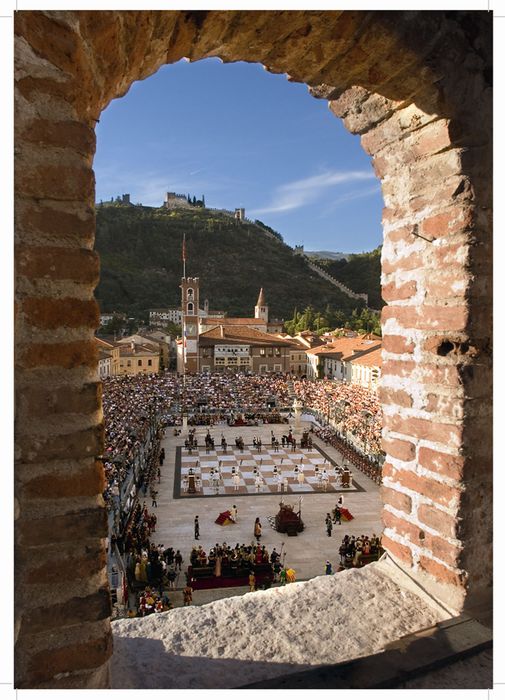
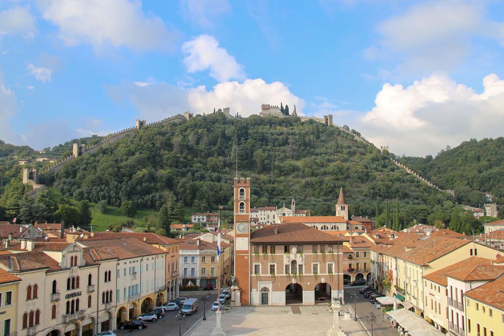
Via XXIV Maggio, where signs indicate the route exiting through Porta Breganze. The main route continues on the right, passing by the Church of Madonna del Carmine or dei Carmini and the oratory. You can now walk uphill along the panoramic “Percorso dei Carmini” path on the Pausolino hill inside Giacomo Salin Park until the Castello Superiore (Upper castle). Once on top of the hill, you can enjoy one of the most beautiful views of the Pedemontana Veneta (foothills of the pre-Alps in the Veneto region) spanning from east to west: the flat land with the Grappa mountain range in the background towards the east, the Colli Euganei (Euganean Hills) and the Colli Berici (Berici hills) to the south, the Piccole Dolomiti (Small Dolomites, i.e. the Pre-Alps in the province of Vicenza) to the west, and the Asiago Plateau to the north. The Ornithology Museum in this area is worth a visit. Walk down the asphalt road through the east gate of the Castle to get to the museum.
From the parking lot outside the Ornithology Museum the main route continues to the right onto the Antica Strada dei Frati (Ancient Friars' Trail), which is partially paved and heads to the Pauso hill and the former Monastery of San Fabiano e San Sebastiano. After a while, you come across a path on the right, the “Percorso Valdibotte”, which is a quick route to Campo Marzio. If you decide to go straight ahead, you will be travelling along the northern slope of the Pauso hill where you can easily reach the top of the hill for an interesting panoramic view by turning right at a certain point. If you continue on the Antica Strada dei Frati, you will be going down eastwards until the intersection with via Convento (turn right to visit the remains of the former Monastery of San Fabiano e San Sebastiano). Walk as far as Piazza Ortigara and reach Campo Marzio taking via Due Rogge.
When you follow a nature trail, it is always enjoyable to spend some time observing its most characteristic elements. Observations on this route begin at the “Giacomo Salin” town park where many interesting aspects will attract your curiosity. Among them the conformation of the rocks, which consist of fossiliferous limestone disposed on sub-vertical strata that run a reggipoggio, i.e. inclined towards the mountain, and the variety of vegetation, most of all trees of various non-indigenous species, which clearly stand out. On the other hand, interesting animals are rather rare to see, besides some invertebrates, because of the impactful activities of man on the environment over the years. The most obvious natural elements, therefore, are comprised of rocks and trees.
Along the “Percorso dei Carmini” trail you can easily recognize the calcareous strata configuration described above, which repeats itself unchanged all the way up to the Castello Superiore (Upper Castle). There is a great variety of plants. Needle-like leaves (above all the Italian cypress, the Italian stone pine and the Himalayan cedar or deodar) are quite common, while the most significant local broad-leaved plants are the olive tree, the hackberry tree, the Eurasian field maple, the manna ash, the sessile oak and the black locust. The shrubs along the way in front of the castle, on the other hand, belong to the Hibiscus genus that is not indigenous.
The route to the North of the Castello Superiore (Upper Castle) is characterised by rather diverse morphological and botanical features. The conformation of the rocks is different because of their different structure and composition. Fossiliferous limestone is still present, but here and there you can also notice some basalt outcrops, an igneous rock that is typical of the hilly crest, often used in the construction of the ancient masiere (dry-stone walls). In the first stretch of the Antica Strada dei Frati, which leads into the wood east of the Ornithology Museum, the plants are typically local. They include the elder tree, the black locust, the manna ash and the chestnut tree. Furthermore, past the “Percorso Valdibotte” path, you can clearly see a few hackberry trees growing above some dark basalt boulders. On the edges of the next field, you can notice two large fig trees and an old mulberry tree. Right after that, still going downhill, you cross a tangled forest where a decaying centenarian chestnut tree and some old willows stand out, besides some herbaceous plants, among which many ferns of the Lingua Cervina species. The path branches off in a point where a small spring-fed pond offers the opportunity to see some forms of animal life, including frogs and aquatic snails of the Limnea genus. The last stretch of the Antica Strada dei Frati covers the edge of a beautiful poplar-sided hazel tree thicket.
In this route
-
![]() Pauso Hill
Pauso Hill
-
![]() Monastic compound of San Gottardo
Monastic compound of San Gottardo
-
![]() Church of Saint Maria Assunta
Church of Saint Maria Assunta
-
![]() Birthplace of Prospero Alpini
Birthplace of Prospero Alpini
-
![]() Church of Saint Marco
Church of Saint Marco
-
![]() Church of madonna del Carmine and oratory
Church of madonna del Carmine and oratory
-
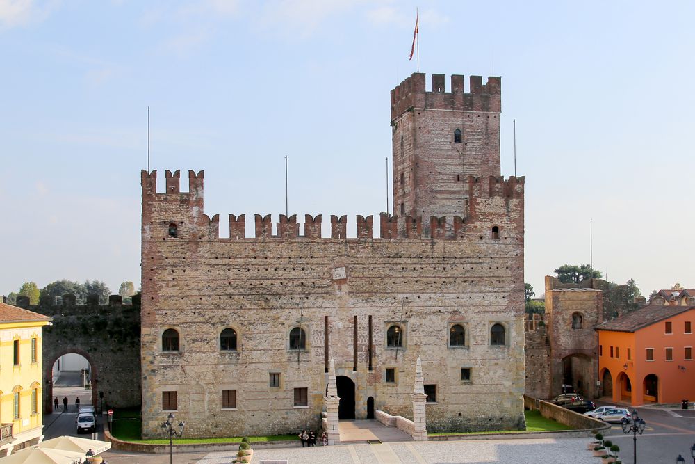
![]() Upper castle
Upper castle
-
![]() Former monastery of San Fabiano e Sebastiano
Former monastery of San Fabiano e Sebastiano
-
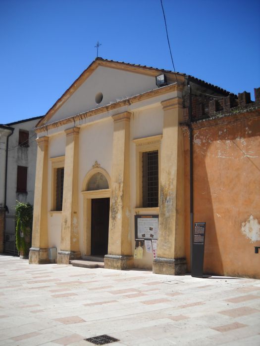
![]() Church of Saint Antonio Abate
Church of Saint Antonio Abate
-
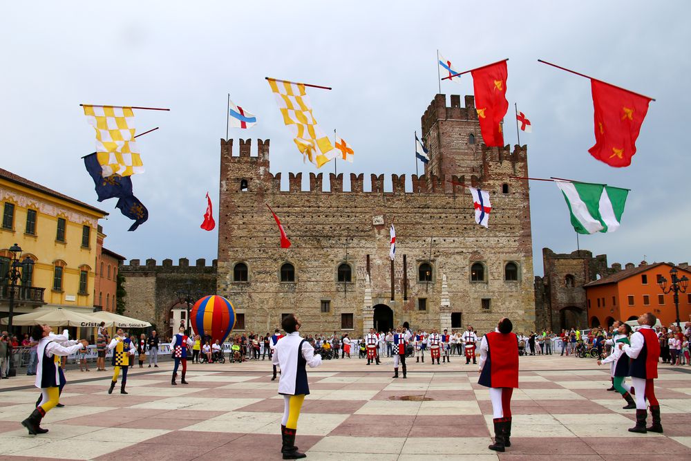
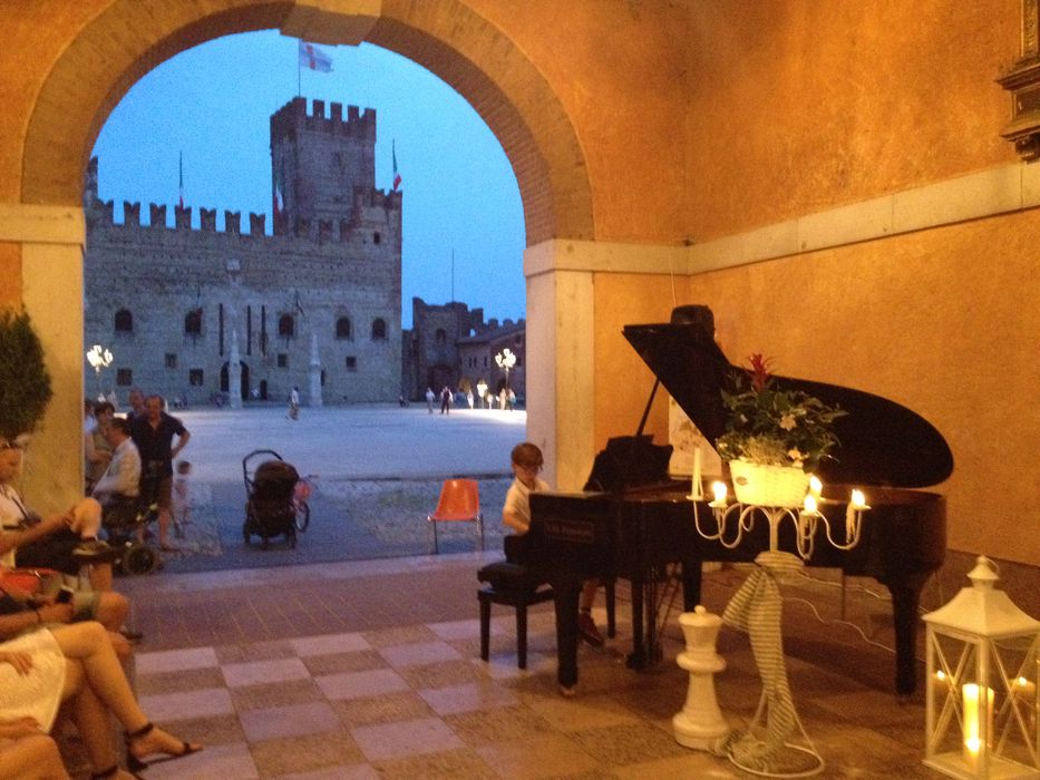
![]() Castle square
Castle square
-
![]() Palazzo Doglione
Palazzo Doglione
-
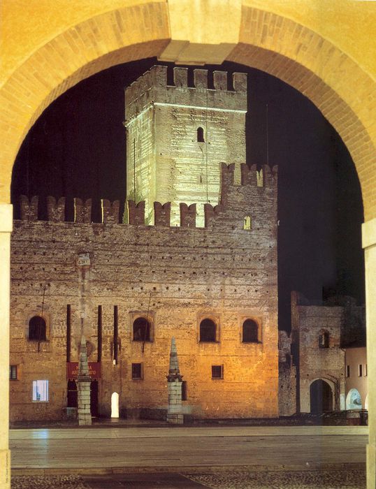
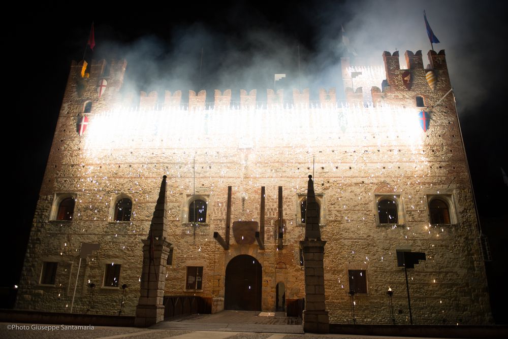
![]() Lower castle
Lower castle
-
![]() Chapel of the Santissimo Sacramento
Chapel of the Santissimo Sacramento
Accomodation
-
Hotel Europa
Viale Stazione, 5/A - Marostica
Vedi i dettagli -
Hotel Due Mori
Corso Mazzini, 73/75 - Marostica
Vedi i dettagli -
Villa Cecchin Guesthouse
Via Gianni Cecchin, 69 - Marostica
Vedi i dettagli -
Suite Parolin
Corso Mazzini, 142 - Marostica
Vedi i dettagli -
Campana Suites
Viale Stazione, 32 - Marostica
Vedi i dettagli -
Marostica
Via Camplani, 60 - Marostica
Vedi i dettagli -
A Casa mia
Via Ca' Brusà, 23 - Marostica
Vedi i dettagli -
Da Viky
Via Mantegna, 12 - Marostica
Vedi i dettagli -

Borgo Castello
Via C.Battisti, 15 - Marostica
Vedi i dettagli -
Retrò
Via Ravenne, 36 - Marostica
Vedi i dettagli -
I Mirtilli
Via Gazzo, 33 - Pianezze
Vedi i dettagli -
Il Geranio
Via Oldelle, 4/A - Pianezze
Vedi i dettagli -
B&B Maria
Via IV Martiri 21 - Marostica
Vedi i dettagli -
Marostica Bright Apartment
Via Callesello delle Monache 1 -Marostica
Vedi i dettagli -
COLLINE SAN BENEDETTO
Via Canale, 26 - Marostica
Vedi i dettagli -
Agriturismo Dai Sandri
Via Oldelle, 1A - Pianezze
Vedi i dettagli -
Brave Wine- Società agricola Srl (ex Diesel Farm)
Via San Benedetto, 2 - Marostica
Vedi i dettagli -
Al Mulino
Via Gobbe, 60 - Marostica
Vedi i dettagli -
L'Angelo e il Diavolo
Piazza Castello, 41/A - Marostica
Vedi i dettagli -
Madonnetta
Via Vajenti, 21 - Marostica
Vedi i dettagli -

Lunaelaltro
Corso della Ceramica, 33 - Marostica
Vedi i dettagli -
Scaligera
Via Montello, 68/a - Marostica
Vedi i dettagli -
Panic Jazz Club
Piazza Castello, 42 - Marostica
Vedi i dettagli -
Ristorante cinese Oriente
Via G. Cecchin, 20/b - Marostica
Vedi i dettagli -
Da Bastian
Via Gobbe, 10/a - Marostica
Vedi i dettagli -
Da Roberta
Via Panica, 150 - Marostica
Vedi i dettagli -
Da Rossi
Via Consagrollo, 69 - Marostica
Vedi i dettagli -
Ristorante Pizzeria Bistrot 77
Via Gazzo, 2 - Pianezze
Vedi i dettagli -
Caissa
Corso Mazzini, 104 - Marostica
Vedi i dettagli -
Al Sole
Via Fondati, 3 - Marostica
Vedi i dettagli -
All’Angelo d’Oro
Viale Montegrappa, 20 - Marostica
Vedi i dettagli -
La casetta
Viale Vicenza, 12/A - Marostica
Vedi i dettagli -
Dalla Zita
Via Cà Brusà, 5 - Marostica
Vedi i dettagli -
Ristorante Cuori
Corso Mazzini, 73/75 - Marostica
Vedi i dettagli
To live
Events in the territory
To love
To visit
-
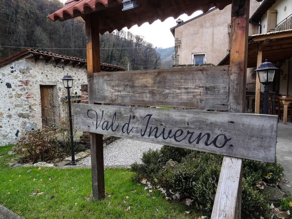
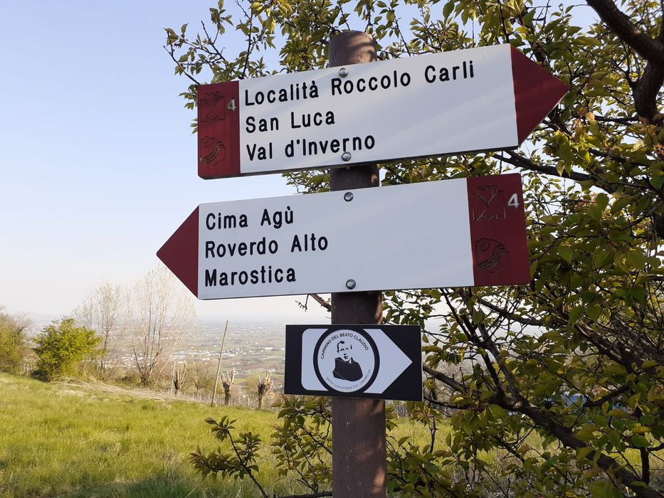
![]() Route 4: From the walled city to the suggestion of Val d'Inverno
Route 4: From the walled city to the suggestion of Val d'Inverno
IMPORTANT! Please note that trail no. 4 is accessible up to Roccolo Carli, which is currently excluded from the route. ...
-
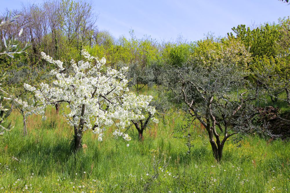
![]() Route 5: Cherry tree trail
Route 5: Cherry tree trail
This path, more than others, offers its users a real full immersion in a landscape where cherry trees dominate and, ...
-
![]()
...